Country guide
India
Capital, flag, borders and quick geography facts for India.
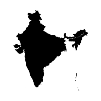
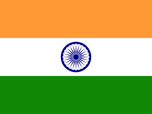
Key facts
- Capital
- New Delhi
- Region
- Asia
- Area
- 3,287,263 km²
- Population
- 1,417,492,000
Neighboring countries
India has 6 land neighbors in the country data.
Learn India
India's capital is New Delhi, and the country runs the world's largest postal network.
India covers 3,287,263 square kilometers and borders six countries, with China as its largest neighbor.
Mawsynram, a village in India's Meghalaya state, holds the Guinness World Record for the highest average annual rainfall on Earth.
Trivia
- India runs the world's largest postal network.
- India's Mahabalipuram is famous for rock-cut temples shaped like chariots and giant open-air reliefs.
- The Kumbh Mela, a Hindu pilgrimage festival held at four riverbank sites in India, is recognized by UNESCO as the largest peaceful gathering of pilgrims on Earth.
- The Sundarbans, spanning the Ganges-Brahmaputra delta across India and Bangladesh, is the world's largest mangrove forest.
- Mawsynram, a village in India's Meghalaya state, holds the Guinness World Record for the highest average annual rainfall on Earth.
More countries in this region
Ready to test it?
Use these facts in the daily geography challenge and practice one country at a time.
Play today's challenge