Country guide
Philippines
Capital, flag, borders and quick geography facts for Philippines.
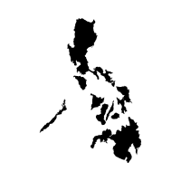
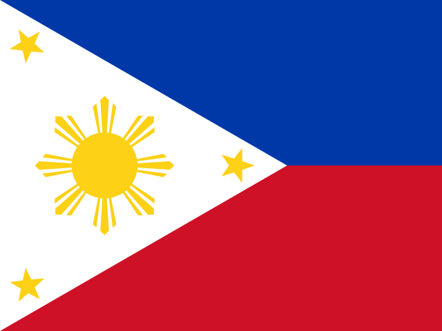
Key facts
- Capital
- Manila
- Region
- Asia
- Area
- 342,353 km²
- Population
- 114,123,600
Neighboring countries
Philippines has no land borders in the country data.
Learn Philippines
The Philippines' capital is Manila, and the country is made up of more than 7,000 islands.
The Philippines covers 342,353 square kilometers and, as an island nation, has no land borders. The Puerto Princesa Subterranean River in Palawan flows through an 8.2-kilometer underground channel before reaching the sea.
Bohol's Chocolate Hills are more than 1,260 cone-shaped limestone mounds formed by tectonic uplift and rainfall erosion.
Trivia
- The Philippines has more than 7,000 islands.
- Tubbataha Reefs Natural Park in the Sulu Sea shelters about 360 coral species and 600 fish species within a UNESCO World Heritage-listed atoll.
- Bohol's Chocolate Hills are more than 1,260 cone-shaped limestone mounds formed by tectonic uplift and rainfall erosion.
- The Puerto Princesa Subterranean River in Palawan flows through an 8.2-kilometre underground channel before reaching the sea, with 4.3 kilometres open to boat tours.
- The jeepney, the Philippines' iconic mode of public transport, was created by lengthening and decorating surplus American military jeeps left behind after World War II.
More countries in this region
Ready to test it?
Use these facts in the daily geography challenge and practice one country at a time.
Play today's challenge