Country guide
Egypt
Capital, flag, borders and quick geography facts for Egypt.
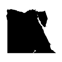
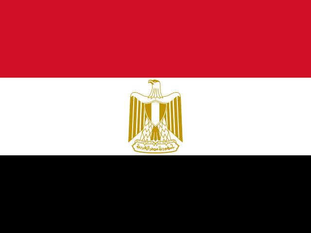
Key facts
- Capital
- Cairo
- Region
- Africa
- Area
- 1,002,450 km²
- Population
- 107,271,260
Neighboring countries
Egypt has 4 land neighbors in the country data.
- Israel
- Libya
- Palestine
- Sudan
Learn Egypt
Cairo is Egypt's capital. The Great Pyramid of Giza is the only one of the Seven Wonders of the Ancient World still standing today.
Egypt covers 1,002,450 square kilometers and borders Israel, Libya, Palestine, and Sudan, its largest neighbor. The Nile, widely regarded as the world's longest river, flows more than six thousand kilometers north through Egypt into the Mediterranean Sea.
The ancient temples of Abu Simbel were cut into blocks and moved to higher ground in the 1960s to save them from the rising waters of Lake Nasser.
Trivia
- The Great Pyramid of Giza is the only one of the Seven Wonders of the Ancient World still standing today.
- The Nile is widely regarded as the world's longest river, flowing more than six thousand kilometers north into the Mediterranean Sea.
- The Suez Canal has no locks because it was built at sea level, letting ships pass directly between the Mediterranean and Red Seas.
- The Rosetta Stone, inscribed with the same decree in Greek, hieroglyphic, and demotic script, gave scholars the key to deciphering ancient Egyptian hieroglyphs.
- The ancient temples of Abu Simbel were cut into blocks and moved to higher ground in the nineteen sixties to save them from the rising waters of Lake Nasser.
More countries in this region
Ready to test it?
Use these facts in the daily geography challenge and practice one country at a time.
Play today's challenge